
A geological identity card for urban areas is being developed to assess the fragility of the subsoil
This is an initiative led by ISPRA. Meanwhile, an international research team led by Peking University has studied the phenomenon of land subsidence in various locations around the world

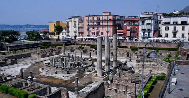
To understand the fragility of the subsoil in cities, the geological identity card for urban areas has been developed. This tool – the Urban Geo-climate Footprint (UGF) – analyses geological and climatic factors as well as human activities to measure the level of interaction between the geological and climatic context and the urban fabric. It was developed by researchers at ISPRA as part of research carried out in collaboration with the European network of geological surveys, EuroGeoSurveys.
It is essential to understand the subsoil
“Knowing what lies beneath our feet helps us decide what to do above ground,” emphasises Maria Alessandra Gallone, president of ISPRA and SNPA. ‘With the Urban Geo-climate Footprint, which is very similar to the Geological Identity Card, a single glance is enough to understand the terrain on which a city stands, what its main challenges are and where action can be taken.’
The impact of these phenomena
The new method synthesises the information available in public databases and assigns a score between 0 and 500 to indicate the potential impact of geological and climatic phenomena on the urban area. The more the geological and climatic context influences the city’s development and functioning, the higher the score. The new method has already been tested through a series of analyses of various European cities and Italian regional and provincial capitals.
94 points in Trento and 359 in Naples
The national results show significant differences: they range from 94 points in Trento to 359 in Naples. Among the highest scores are also Genoa with 304, Palermo with 265, Bari with 255 and Catanzaro with 250. Among the cities with the lowest scores are Bolzano with 144, Milan with 155, Aosta with 160 and Trieste with 162.
Like the Cie for people
But that’s not all. “The same method makes it possible to create a genuine geological identity card, the City Geo Factsheet (CGF) which, like the national identity card for people – as ISPRA points out – gathers essential information, not just the bad news but also the good, which defines the ‘geological-climatic’ profile of the urban area’. This ranges from the soil on which it is built to groundwater, from climatic and human pressures on the subsoil to geological hazards, the resources it offers and the aspects requiring greater attention. These activities then provide a ‘simple and immediate understanding of the relationship between the territory and the urban fabric’. ‘This is the transition we wish to facilitate,’ continues the president of ISPRA, ‘transforming data and scientific expertise into concrete solutions for those who must make decisions, plan and take action.’

