
A new heatwave is on its way to central and southern Italy; it is set to be the most intense of the summer
The number of ‘red alerts’ is on the rise: on Thursday 27 August, there will be three – in Bari, Campobasso and Palermo. Cooler weather is expected in the northern regions

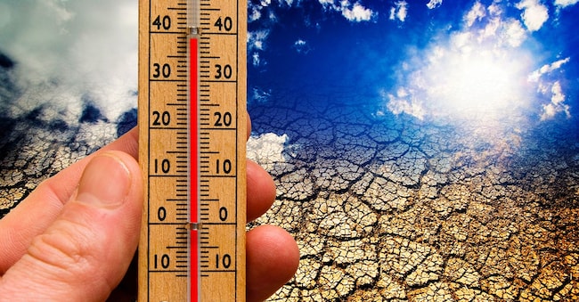
A new heatwave – the fifth of the year – is set to hit the country. The heatwave won’t last long (the situation could improve as early as the second half of the weekend) but it will be particularly intense in central and southern Italy, where it is forecast to be the most severe of the entire season, with temperatures peaking well above 40 degrees. “The worst days,” explains Lorenzo Tedici, head meteorologist at iLMeteo.it, “will be Thursday 27th, Friday 28th and Saturday 29th” August. The northern part of the peninsula, where further showers and thunderstorms are expected, will largely be spared, maintaining a cooler and more comfortable climate.
The red stickers
The number of red alerts is on the rise again. Following a brief lull around mid-August, the highest alert level has returned in some municipalities – particularly in the south and on the islands – indicating emergency conditions with potential adverse effects even on the health of healthy, active people, and not just on those in at-risk groups.
On Wednesday 26 August, Campobasso and Palermo will be on ‘red’ alert, with Bari joining them the following day. The number of ‘orange’ alerts is also rising: nine are forecast for Thursday 27 August, in Ancona, Cagliari, Catania, Florence, Latina, Messina, Reggio Calabria, Rieti and Rome, confirming that the situation is most critical in central and southern Italy.
Consequently, the number of urban centres where the minimum alert level remains in place is falling. On Thursday, only six of the 27 municipalities monitored by the Ministry of Health in its daily heatwave bulletin will remain ‘in the green’. Most of these regional capitals are located in the north of the country, with the exception of Frosinone; they are Milan, Genoa, Turin, Trieste and Venice.
The New Wave
In central and southern Italy, therefore, the subtropical high-pressure system that has brought extreme temperatures throughout the summer does not appear set to retreat any time soon. According to forecasts from iLMeteo.it, the intense heat is set to return from Thursday 27 August: ‘A deep trough is approaching from Northern Europe, set to move towards the ocean off the coast of Portugal. This will create the conditions for a surge of very hot air from North Africa, heading straight for the Mediterranean and Italia.’

