
Drones and artificial intelligence for studying and mapping rivers

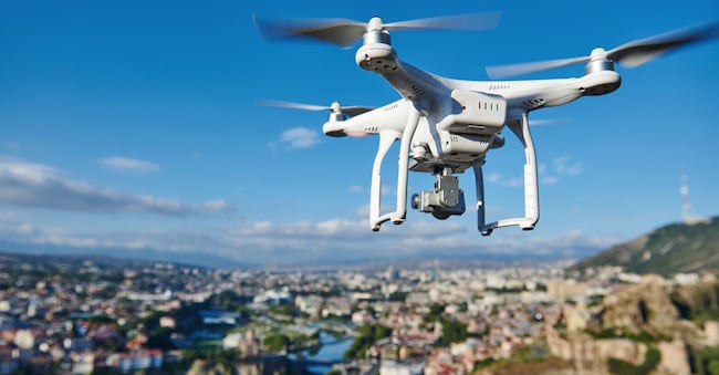
Drones and artificial intelligence to study rivers, carry out surveys and identify logs and branches. And to create maps that can be used to assess any exceptional events. This is the finding of an international study carried out by a consortium of researchers, including those from the Polytechnic University of Turin and the Aosta Valley Regional Environmental Protection Agency (ARPA), published under the title ‘Detection of Large Woody Debris in Braided-Rivers RGB-UAV Dataset: A Comparative Study’ in the scientific journal *Remote Sensing*.
An overview of the river system
This work, as Carlo Camporeale, a lecturer at the Polytechnic University of Turin and co-author of the study, points out, provides a broader view of the riverine environment. ‘Through imagery and the use of artificial intelligence,’ he emphasises, ‘we can distinguish between woody material and that which has roots, and we can also reconstruct the native environment.’ Not only that: “by comparing images taken at different times, we can understand how rivers evolve and change.”
Wood and rivers intertwined
As the study also notes, the watercourses are characterised by woody debris ‘with irregular and unpredictable shapes’; very often these consist of whole logs, fragments and jumbled piles which, ‘when viewed from above in a photograph, are easily mistaken for gravel, stones and the surrounding soil: the same colour, a similar texture, and indistinct outlines’. Not to mention the so-called ‘braided’ rivers, which split into numerous channels and change their appearance with every flood, ‘particularly dynamic and difficult to monitor on a large scale’.

