
El Niño: predicted global heatwave and climate impacts until next winter
The cyclical El Niño phenomenon, coming between May and July, could cause record temperatures and extreme weather phenomena in several regions of the world.
by Lorenzo Pace
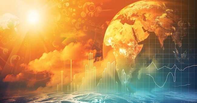
The El Niño phenomenon is about to return and with it, in some parts of the world, extreme weather events, from heatwaves to floods.
Its influence, however, will be global, with a widespread rise in temperatures that could last well into winter.
Loading...
What is El Niño
El Niño is a climatic phenomenon that develops in the tropical Pacific Ocean.
This is explained by Antonello Pasini, climatological physicist at the CNR and scientific director of the Milan Duomo Meteorological Observatory.
It is a cyclical event, alternating with a cold phase (La Niña) and occurs every 2 to 7 years.
Brand connect
Loading...

