Environment

Land use, record in 2025: 102 square kilometres covered in Italia

By 2024, the expansion had come to a halt at 84 square kilometres of territory. The regions with the highest figures were: Sicily, Lazio, Puglia and Lombardy

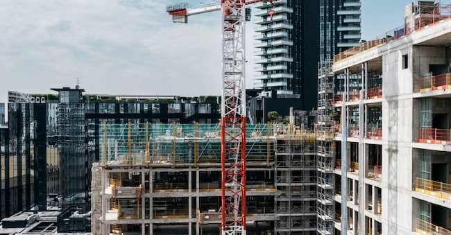
 Imagoeconomica

3' min read

Translated by AI
Versione italiana

3' min read

Translated by AI
Versione italiana

Land consumption in Italia: by 2025, it will have increased by a further 102 square kilometres, at a rate of more than 3 square metres per second – equivalent to over 280,000 square metres per day. This is a new record: in 2024, the figure stood at 83.7 square kilometres of land. This represents a 22.4 per cent increase compared with 2024, which itself had seen a 16 per cent rise on the previous year.

The figure is contained in the 2026 edition of the Report on Land Consumption in Italia, a report compiled by the Higher Institute for Environmental Protection and Research (ISPRA) and the National System for Environmental Protection (SNPA), which this year not only quantifies the phenomenon but also provides the first national map of land with potential for reclamation.

Loading...

The report identifies 3,281 square kilometres of land across the country that could potentially be used for urban afforestation and 1,116 square kilometres of rooftops suitable for the installation of photovoltaic systems. In addition to this, there are almost 9.6 million unoccupied homes that can be refurbished and reused.


The total area of urban public land suitable for restoration exceeds 35,000 hectares, with the largest areas found in Lazio, Lombardy and Veneto. Among the municipalities, the city of Rome ranks first.


The current situation

In 2025, sealed surfaces accounted for 7.19 per cent of the country’s total land area: 21,644 square kilometres were covered by buildings, infrastructure, open spaces, facilities and other man-made surfaces.

In the last year alone, concrete and tarmac have destroyed over 10,200 hectares of natural areas, equivalent to more than 102 square kilometres. Restoration work, however, has covered just 746 hectares, leaving a net loss of almost 9,500 hectares.

Sicily has added just over 1,600 hectares of new artificial land, Lazio over 1,400 hectares, whilst Puglia and Lombardy have each added more than 1,000 hectares. Lombardy, together with Veneto and Campania, also remain the regions with the highest proportion of land covered by buildings and infrastructure: 12.27 per cent, 11.87 per cent and 10.65 per cent respectively.

Loading...

Since 2006, new artificial cover has affected 96 per cent of Italian municipalities, with the most significant increases over the past year observed in particular in Tuscania (+319 hectares), Montalto di Castro (+316) and Catania (+198). Excluding ground-mounted photovoltaic installations, the highest figures are found in Rome (+74 hectares), Foggia (+72), Cerignola (+53) and Campagna (+51).

Land degradation is also on the rise in the most vulnerable areas: over the course of a year, it increased by 1,106 hectares in flood-prone areas and by 707 hectares in landslide-prone areas.


The main causes

More than half of the new artificial surfaces (52.6 per cent) are associated with construction sites covering 5,387 hectares.

The new buildings cover 725 hectares of natural land and 435 hectares of existing building sites, representing a total increase of 1,160 hectares.

Open spaces, service areas and other man-made surfaces have increased by 1,230 hectares, whilst mining operations and infrastructure cover 390 and 506 hectares respectively, including works carried out on existing sites.

Among the fastest-growing sectors is logistics, which has expanded by 390 hectares in one year, particularly in Piedmont (+115 hectares) and Lazio (+59). The expansion of ground-mounted solar power (+2,798 hectares, almost forty times the 2021 figure) and wind farms (+118 hectares, including associated infrastructure) is also continuing.


Less green, warmer in cities

Over two-thirds of the new developments are concentrated in towns and cities. By 2025, 4,231 hectares of green spaces and 320 hectares of tree cover will have disappeared, reductions that will also be reflected in summer temperatures. In the most sealed-off areas, the ground reaches temperatures more than 10°C higher than in the surrounding rural areas, with local peaks of up to 12°C. Where there are more trees, however, temperatures are up to 1.8°C lower


Maria Alessandra Gallone, President of ISPRA-SNPA, comments: “Today, environmental knowledge serves not only to describe problems, but also to devise solutions. And the value of this report lies precisely in this: it not only captures the extent of land consumption, but also provides concrete guidance on how to combat it and identifies opportunities for the sustainable development of regions and cities. ISPRA and the National System for Environmental Protection provide data, analyses and tools that enable us to identify alternatives to land loss and to steer decisions towards the restoration and regeneration of what already exists.”

Copyright reserved ©
Loading...

Brand connect

Loading...

Newsletter

Notizie e approfondimenti sugli avvenimenti politici, economici e finanziari.

Iscriviti