
Sentinel-5A: first images of ozone and air pollution
The mission provides observations of key air pollutants, essential climate variables and stratospheric ozone, the protective layer that shields life on Earth from harmful ultraviolet radiation
Key points
From the ozone hole to nitrogen dioxide over the Middle East and South Africa, continuing with formaldehyde over parts of Africa to sulphur dioxide emissions from an active volcano in Russia.
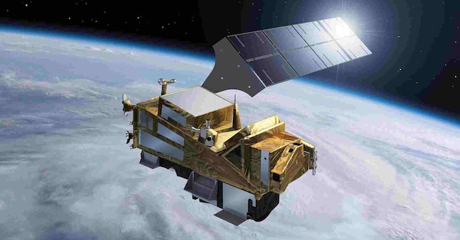
These are the first images sent by the Copernicus Sentinel-5A satellite, an advanced imaging spectrometer, embarked on the first second-generation MetOp meteorological satellite (MetOp-SG-A1), launched into polar orbit in August 2025 to map gases and air pollutants as part of the European Commission and European Space Agency's Copernicus Earth observation programme.
The images were released at the Esa Ministerial Conference in Bremen. The mission provides observations of key air pollutants, essential climate variables and stratospheric ozone, the protective layer that shields life on Earth from harmful ultraviolet radiation. "Due to its long lifetime," emphasises Ben Veihelmann, ESA mission scientist, Sentinel-5 will be crucial for monitoring greenhouse gases, ozone layer recovery and air pollution trends."
The global ozone map
The first image of a global ozone map was acquired on 13 October. "The hole in the stratospheric ozone layer over Antarctica is clearly visible, with column density values of less than 220 Dobson Units," Esa emphasised in a note. "Although the use of ozone-depleting substances, such as halogenated hydrocarbons, was banned by the Montreal Protocol in 1989, their long persistence in the atmosphere means that the complete recovery of the ozone layer has been gradual. Evidence of this recovery has only begun to appear in recent years.
The Sentinel-5 observations will expand and strengthen the long-term record of ozone monitoring, helping scientists to monitor the continued recovery of this vital protective layer'.

