
‘Silva Lab One’, a smart laboratory for managing the Alburni Mountains forest
A research project sponsored by Ottati Town Council and Sam, which uses advanced satellite technology and drones to monitor the green space

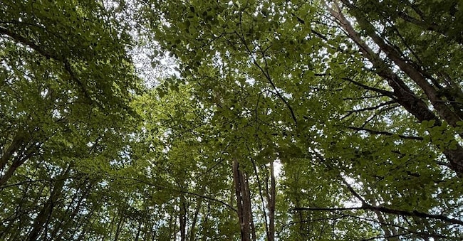
“Silva Lab One” is the first Natural Forestry Laboratory established on the southern slopes of the Alburni Mountains, in the heart of the Cilento National Park. This initiative is based on the use of satellite technology and drones and represents an advanced trial of a new and useful system for managing woodlands and forests.
The project stems from a public-private partnership between the Municipality of Ottati and Società Aerospaziale Mediterranea, which has been involved for decades in major Earth observation projects using satellites, aerial platforms and drones. The laboratory is driven by the need to understand, measure and maximise the many benefits derived from sustainable forest management through a methodological approach based on integrated, verifiable and up-to-date data. The complexity of forest systems requires the combined use of geographical, agroforestry, climatic and ecosystem data, complementing traditional systems with in-situ and remote digital technologies.
Silva Lab One will operate on a section of Ottati’s extensive forest heritage (over 1,000 hectares), examining around 500 trees of different species, geographical locations and ages. This methodology makes it possible to assess the quantity and quality of sustainability services (carbon sequestration, biodiversity, etc.), as well as the characteristics of timber, even at a microscopic level (fibres, biomolecules), for use in green building and, to a lesser extent, in the energy sector.
Fire prevention measures will be of particular importance, with round-the-clock monitoring of the areas at highest risk. The fire prevention system relies on drones carrying out scheduled patrols of forest areas to promptly identify locations with abnormal ground temperature readings, even beneath the canopy.
An integrated digital infrastructure is therefore being developed, designed to collect, organise and update, over time, satellite and drone data, field-based forest surveys, IoT sensor data, climate information and GIS tools, moving beyond a management approach based solely on periodic surveys and one-off observations.


