
Genoa's digital twin to monitor surface and subsurface
The project mapping four areas of the city has been completed. Paves the way for strategic decisions on hydrogeological risk
Genoa is taking a decisive step towards the creation of a digital twin of urban areas and the city's subsoil, with the aim, among other things, of supporting advanced hydrogeological risk analyses, precisely identifying points of vulnerability and simulating flooding scenarios. This is extremely important, at a time when the Ligurian capital, like the rest of the region, has just suffered further extensive damage due to bad weather in recent days. But this also opens the way for predictive analyses, simulations and strategic decisions on mobility, emergency management, public works and infrastructure maintenance.
This afternoon, during Genoa Smart city week, the conclusion of the experimental project enabling the capital to equip itself with new geospatial data and an integrated digital platform of the surface and subsoil, to support the city's digital twin, will be presented. Promoted by the Municipality of Genoa and realised with the Start 4.0 competence centre (born on the initiative of Mimit in 2019) and the Hexagon group (Swedish multinational mechatronics company), the project, explain the Municipality's technicians, "represents a unicum in the national panorama: for the first time, urban structures in the city centre have been digitally mapped, above and below from surveys, sensors and technical documentation will be collected, processed and made interoperable in a single digital environment".
Digitised areas
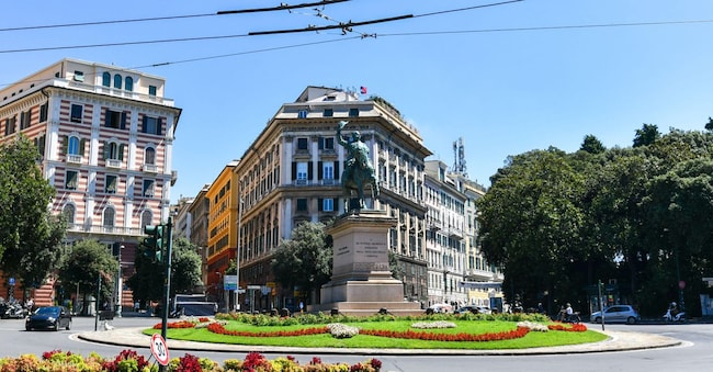
The digitised structures are in four areas of the city: the central piazza Corvetto, two stretches of the historic centre of Genoa, one of 600 metres (where the underground development of the Sant'Anna stream, which until now has been almost impossible to survey due to the difficulty of access and the unpredictability of water flows) and another of 900 metres (this one orthogonal to the passage of other underground streams that cross Genoa) as well as a road from Valpolcevera, via delle Tofane (characterised by a particularly complex network of underground utilities that is difficult to survey), have been digitised for the first time.
For these areas, all surface structures were digitised, using advanced surveying technologies such as static laser scanning, mobile mapping and vehicle mapping. Thanks to these tools, say the technicians, 'it was possible to acquire, with millimetric precision, building fronts, road surfaces, vertical and horizontal signs, manholes, street and technological furnishings, and many other elements of the city's fabric'.
Georadar technology
With regard to the subsoil, the survey was conducted using georadar technology, "which made it possible to map all the sub-services, in particular the hydraulic ones, and to identify any element capable of generating interference, up to a depth of about three metres from ground level, such as, for example, the covering vaults of underground streams".


