

5G is becoming a widespread radar system. The idea is to use it against drones
Ericsson is working on using radio wave reflections to track unmanned aircraft. For governments, the prospect is appealing: using infrastructure already in place across the country to step up surveillance of airports, ports, power stations and military installations. But the current network is for civilian use

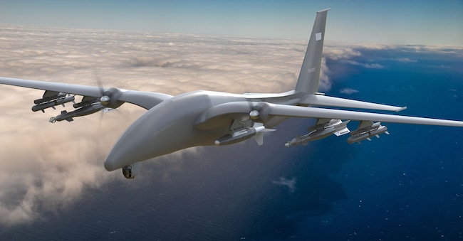
Ericsson is working on a new application for mobile networks. 5G antennas, as well as transmitting communications, can help to detect and track drones by utilising radio wave reflections, even when the drones are not connected to the network. The company claims to have detected small aircraft at distances of several kilometres and anticipates pilot projects as early as 2027, with wider-scale roll-out from 2028. For governments, the prospect is appealing: using infrastructure already in place across the country to step up surveillance of airports, ports, power stations and military installations. But this is where the political and industrial problem arises, because the networks are owned or operated by civilian operators. Whilst this new function would be of value to national security, its reliability, effective coverage, costs and operational responsibilities have not yet been subject to independent public validation on a national scale.
What is ISAC
The principle of Integrated Sensing and Communication, or ISAC , involves using radio wave reflections to gather information on the presence and movement of objects. With multiple observation points, trajectories can be constructed even without receiving messages from the drone. Not every antenna, however, automatically becomes a radar: compatible equipment, favourable geometry, synchronisation and computing power are required. And detecting an object is not the same as recognising it, classifying it correctly or determining whether it is authorised to fly.
The 2026 trials distinguish between what is possible and what remains to be proven. In February, at its US headquarters in Plano, Ericsson demonstrated the detection of passive objects using massive-MIMO equipment. In July, working with AT&T outside AT&T Stadium in Arlington, it tracked several drones flying at altitudes of between 300 and 400 feet – approximately 91–122 metres – using several synchronised radio sites. In September, in collaboration with Erillisverkot, the Finnish network operator for public authorities, it conducted trials in Helsinki and at the port of Vuosaari. In October, in Kraków, it integrated radio sensing with acoustic sensors and Asseco’s PUSZCZYK platform.
False alarms and lost tracks shift the cost of uncertainty onto security personnel. Radar, thermal cameras and acoustic sensors produce different types of information, and the value of ISAC lies in adding distributed observations to them, not in replacing them. The Polish trial combined radio, acoustic and software data, but viewing the signals together does not prove that they are correctly associated with the same target. Artificial intelligence can help, provided that its classifications are based on verifiable measurements: decisions still rest with the competent authorities.
The economic issue
The business model introduces a second misunderstanding. Play, the Polish partner, reported over 13,500 radio stations and more than 13.5 million mobile subscribers. These are significant figures for data transmission, but they do not measure the area that can be covered by the new system. In the trial in Kraków, the sensing system used the industrial spectrum, whilst Play’s 5G network provided the transport link. A commercial network can therefore contribute to the service without all its antennas detecting drones.

