
From Google Earth Engine to machine learning, the thesis project to map the territory quickly and accurately
An approach based on satellite data and advanced analysis to overcome the limitations of traditional cartography and allow a dynamic and up-to-date reading of the territory

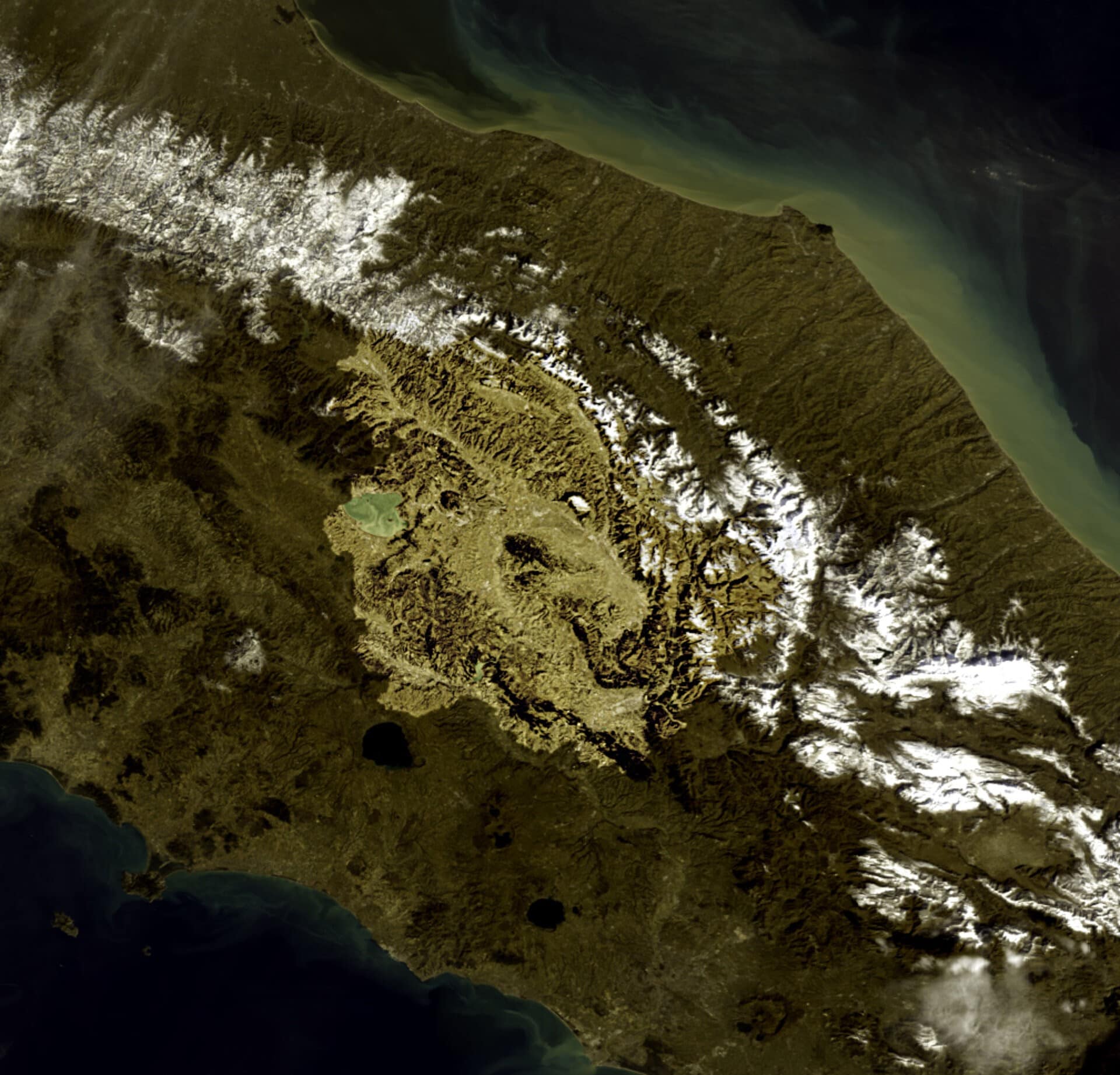
In recent years, satellite technologies have transformed the way we observe and analyse the territory: instruments such as the European Sentinel missions of the Copernicus programme provide images that are updated every few days, making it possible to monitor environmental changes, land use and vegetation conditions with previously unthinkable precision. However, the enormous amount of data generated requires advanced methods to be interpreted, while traditional cartography is often static and not timely enough.
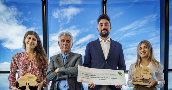
And it is in this context that the thesis of Francesco Antonielli, a master's degree student at the University of Perugia in Agricultural and Environmental Sciences, received first prize in the second edition of the "Agugiaro & Figna Molini S.p.A S.B." call for proposals promoted in collaboration with CINSA, the National Inter-University Consortium for Environmental Sciences. Dedicated to the technological and digital sector, the call wanted to celebrate scientific research and sustainable innovation born from the talent of the new generations, rewarding the best master's degree theses for the 2023/2024 academic year from courses in the fields of Environment, Agronomy, Forestry, Engineering, Statistics and Mathematics at the universities in Emilia Romagna, Umbria and Veneto, the three regions where Agugiaro & Figna is present with its milling plants; for next year, instead, attention will be paid to university projects linked to the world of management and economic sciences.
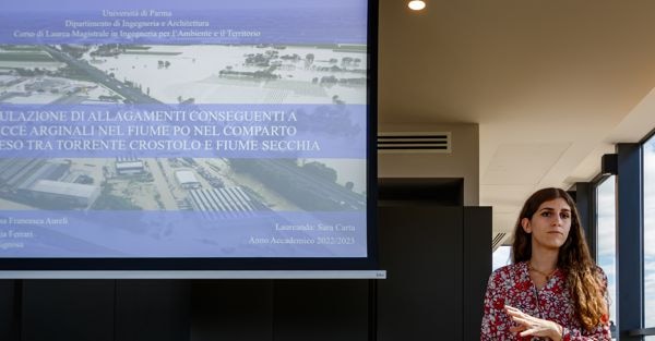
"Antonielli's thesis entitled Classification of the land cover of the Apennine areas of Umbria using Google Earth Engine and Sentinel 2 and Sentinel 1 satellite data was judged to be very accurate with a competent data collection and processing job that can provide a classification and assessment of the Apennine areas in order to then be able to increase both pasture and woodland areas in an absolutely correct manner. Motivations that the entire scientific committee set up by CINSA has highlighted. However, I would like to point out that thanks to this competition, which is already in its second edition, we are building up an archive of around forty theses dedicated to agro-ecosystems and forests: anyone wishing to consult them can make a request to CINSA, which looks after the fund at the University of Parma. This year, Alessandra Carta's thesis entitled Simulation of flooding resulting from riverbank breaches in the Po River in the area between the Crostolo and Secchia torrents impressed with the topicality of the environmental criticality that has claimed victims and caused damage in the North East in recent days and in the past in Emilia Romagna: it seemed extremely professional with important calculation and operational tools, very useful for the area in which the predictive model is already successfully applied. Giulio Massaro's work on Feasibility study for the establishment of a protected area for the protection and enhancement of the Pesarine Dolomites in Friuli Venezia Giulia and Veneto also received a special mention: the design hypothesis of a nature park, which is very interesting with an accurate use of IT and digital tools with possible safe applications to the territory and future planning, and that of Natalia Mazza on Geospatial Machine Learning for the Classification of Irrigated Agricultural Plots to orientate to a precision farming that knows how to use increasingly scarce resources such as water," says Rosanna Figna, an Agrarian graduate, director of the Bosco del Molino and inspirer of the scientific projects that will take place in its glades from 2021.
Inserted as a validation piece in a much broader research project, Antonielli's thesis serves as the basis for the realisation of an interactive web platform that represents the operational evolution of the study, i.e. a tool to perform an analysis of the vegetative state and productivity of grasslands and that allows farmers to access the platform and identify the best areas, thus optimising grazing management more efficiently.
Antonielli explains: "The thesis work, carried out with the support of Prof. Marco Vizzari of the Department of Agricultural, Food and Environmental Sciences of the University of Perugia, involved the creation of a detailed mapping of the land cover in the Umbrian Apennines, distinguishing woods, prairies, shrublands, cultivated land and artificial surfaces. A specific focus was on the most vulnerable habitats, such as grasslands, which have been undergoing significant regressions in recent years. For this purpose, we used Sentinel satellite data, advanced analysis platforms such as Google Earth Engine, and machine learning models, which allow us to transform large quantities of data into useful information for interpreting the territory quickly and accurately. The main objective was to assess the reliability of these tools in studying the territory: by combining satellite images, vegetation indices and morphological data, it was possible to reconstruct the composition of the landscape with significant accuracy. The idea arose from the growing need to monitor the territory continuously, economically and objectively, especially in areas where traditional surveys are complex and expensive. Ecosystems are changing rapidly, so understanding these dynamics requires tools capable of detecting even subtle changes, so this approach based on satellite data and advanced analysis overcomes the limitations of traditional mapping and allows a dynamic and up-to-date reading of the territory. The interest in this innovation goes well beyond the academic sphere, in fact, the sensitivity to the subject demonstrated by economic realities such as Agugiaro & Figna and scientific realities such as CINSA confirms that these tools do not remain confined to theory, but respond to very concrete needs related to the environment, in a place where research and territory dialogue".

