
The groundwater reserves account for 84 per cent of the country’s water requirements
ISPRa has published the new hydrogeological map of Italia, 40 years after the last survey

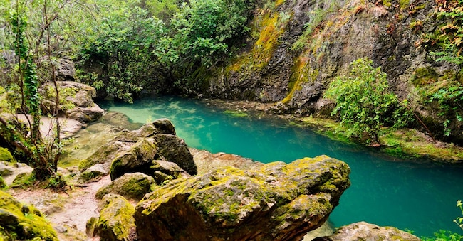
Beneath the ground lies ‘blue gold’ – in other words, a sort of giant reservoir capable of supplying almost all the water consumed daily across the entire country. To be precise, groundwater meets more than 84 per cent of the national demand for drinking water. This is a significant natural resource, given that 66 per cent of our territory ‘is full of veritable natural reservoirs with medium to high production capacity’, which are mainly concentrated in the Po-Veneto Plain and along the central and southern Apennines.
2.7 billion cubic metres of water
This is highlighted by ISPRA’s new hydrogeological map (40 years on from the last major survey), which has recorded 957 major springs with a flow rate exceeding 10 litres per second, from which 2.7 billion cubic metres of drinking water are abstracted annually, accounting for 80 per cent of the spring water used for domestic purposes in the country. The map also includes 60,000 wells, 241 thermal-mineral springs and over 60 underwater and coastal spring sites, which currently flow into the sea but could be useful for future water supply.
A scientific tool
“The new hydrogeological map of Italia is a scientific tool of fundamental importance,” emphasises Alessandra Gallone, president of ISPRA, “given that groundwater is far more resilient to the effects of climate change than surface water, such as rivers, lakes and reservoirs.”
A thorough survey
The new map (produced by ISPRA’s Department for the Geological Survey of Italia in collaboration with the “Ardito Desio” Department of Earth Sciences at the University of Milan, in collaboration with Istat and CMCC, and with the participation of the National System for Environmental Protection, the Regions, the river basin authorities and the entire scientific community in the sector) also includes a comprehensive survey of the springs in the Po-Veneto Plain, ‘that is, the springs situated between the upper and lower plains, confirming that the Italian subsoil is extremely rich in water almost everywhere, with widespread availability and an immense wealth of groundwater resources’.
A constantly updated database
There is also an online database, ‘accessible to all and constantly updated’. Looking ahead, “the creation of the National Water Source Database and a Map of Greater Groundwater Recharge Potential”, designed to identify where existing natural underground reservoirs can be utilised to store water during periods of abundance, thereby reducing the need to build artificial surface reservoirs. ‘Knowing their exact location, understanding where they infiltrate and how they flow,’ concludes the president, ‘means enabling the authorities to manage the resource more effectively, plan more efficiently and raise awareness of the strategic value of groundwater for the country.’

