
Bad weather: yellow alert for thunderstorms across 12 regions
According to the forecast, the storm front that developed over central and northern Italia today is set to spread to the southern regions as well

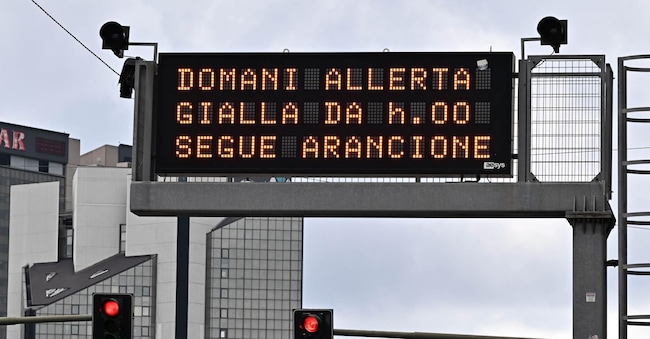
Another day under a yellow alert due to rain and thunderstorms has been issued today for 12 regions. This has been announced by the Civil Protection Agency. The alert covers Abruzzo, Basilicata, Campania, Lazio, Lombardy, Marche, Molise, Puglia, Sardinia, Sicily, Tuscany and Umbria. Yesterday, the weather alert particularly affected Tuscany, which, along with Friuli, Lombardy and the Marche, was the region hardest hit by the bad weather, with flooding in underpasses and on lower-lying ground, landslides and numerous fallen trees.
According to the forecast, the storm front that developed over central and northern Italia today is set to spread to the southern regions as well. These are the latest weather forecasts issued bythe Italian Air Force’s meteorological service:
North: patchy cloud cover; from overnight, thicker clouds over Piedmont, central-eastern Lombardy and central-western Tuscany, spreading during the day to the Triveneto region, with showers and thunderstorms, some of which may be severe; extensive clear spells from late afternoon, starting in the north-western regions.
Central Italy and Sardinia: very cloudy or overcast skies with widespread showers and thunderstorms over Tuscany, Umbria and the Marche, and from the afternoon over Lazio and Abruzzo; a marked improvement from the evening. In Sardinia, the weather will start off stable but will deteriorate from the afternoon, with possible rain and isolated showers, mainly along the island’s eastern coasts.
South and Sicily: clouds gradually thickening from the early hours of the morning, with isolated showers along the coast of Campania and in western Sicily; from the early afternoon, rain and thunderstorms spreading to the remaining regions, with the exception of the Ionian coast of Basilicata and southern Calabria; the weather conditions will gradually ease off in the evening.

