
More thunderstorms, then a return to warm weather from the weekend
Right from the start of the weekend, a change on a hemispheric scale is expected, brought about by a fresh surge from the African subtropical high. This vast mass of warm air will extend directly from North Africa towards the Mediterranean basin, eventually encompassing Italia as well

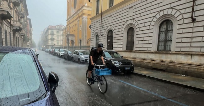
After hitting the north hard with hail and gusts of wind of up to 100 km/h, the storm front is moving towards the central and southern regions. This will be the last burst of bad weather before a marked change in the weather: from the weekend of 4 July, a powerful heatwave is expected to sweep across the entire peninsula. Mattia Gussoni, a meteorologist at iLMeteo.it, confirms that, over the course of today, Friday 3 July, the storm front will move rapidly towards the central and southern regions.
Potentially severe weather events
The deterioration in weather conditions will initially affect southern Lazio, before spreading rapidly to Puglia, Basilicata, Calabria, Sardinia and Sicily. We remain on high alert due to the potential intensity of the weather events. There is still a great deal of potential energy in the lower layers of the atmosphere, accumulated in the form of moisture following the intense heat of recent weeks. For this reason, we cannot rule out the risk of extreme events such as thunderstorms and heavy hailstorms, with the most intense phenomena concentrated in particular in Calabria and Sicily. In the north, however, the weather will be mainly stable and sunny. The spell of bad weather will, in any case, be short-lived. Right from the start of the weekend, a change on a hemispheric scale is expected, driven by a new surge from the African subtropical high. This massive mass of warm air will extend directly from North Africa towards the Mediterranean basin, eventually encompassing Italia as well.
Over the weekend, on Saturday 4 and Sunday 5 July, we can therefore expect plenty of sunshine from north to south, with clear or slightly cloudy skies almost everywhere. Not only that, but in addition to more stable weather conditions, a marked and widespread rise in temperatures is also forecast, with maximum temperatures set to reach 33–34°C in many of our cities, heralding the start of a new spell of intense heat.
Day-by-day progress
Friday 3rd: in the North, sunny with rising temperatures. In central Italy: sunny, with showers in southern Lazio and southern Sardinia. In the South, scattered thunderstorms, particularly along the Tyrrhenian coast.
Saturday 4th: In the North: stable and sunny. In Central Italy: sunny everywhere. In the South: sunny, with strong winds from the north.

