Technology

Pulsar: the new satellite constellation designed to counter GPS interference in crisis zones

A private low-Earth orbit satellite provides stronger and more reliable signals, revealing widespread interference across Europe and the Middle East that threatens the safety of civil and military navigation

by Leopoldo Benacchio

GPS IIRM

3' min read

Translated by AI
Versione italiana

3' min read

Translated by AI
Versione italiana

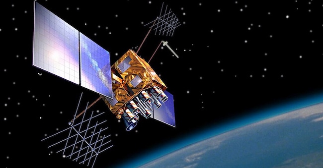
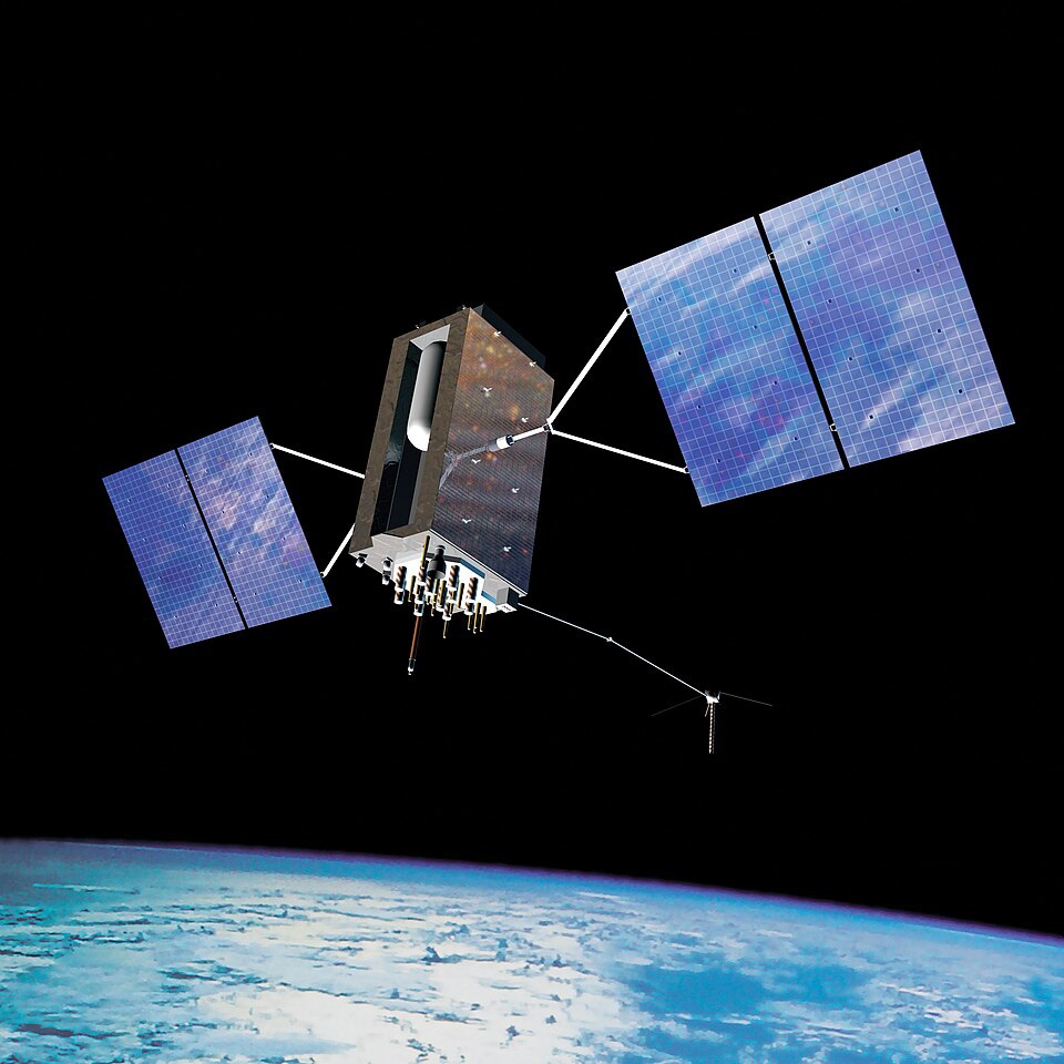
The GPS has been part of our lives for years: it helps us find the best route for our journey, check when a taxi or tram is due, guides aeroplanes and coordinates many other everyday activities. Today, this American system is joined by the European Galileo – one of the most advanced – the Russian Glonass and the Chinese BeiDou, which together form the vast global network of satellite navigation.

All these constellations are located at an altitude of around 20,000 kilometres, and each satellite is equipped with highly precise atomic clocks. Thanks to these clocks, the system is able to calculate the position of a receiver on Earth with an error of just a few metres, whether it is a smartphone or a commercial aeroplane.

Loading...

Until a few years ago, we tended to take this service for granted. But the wars in Ukraine and the Middle East, and the growing tensions in various parts of the world, have shown just how the GNSS signal – that is, the family of systems such as GPS, Galileo and the like – is more fragile than we imagined. In some areas the signal is disrupted or even tampered with, causing serious problems for aircraft, ships and ground vehicles.

It is not, in itself, a weapon in the strict sense, but something just as dangerous, which can compromise many military and civilian technologies. Drones, for example, have become one of the most feared weapons in modern conflicts in just a few years, and their reliance on reliable navigation signals is a key part of this transformation.

GPS Block IIIA

The interference with Ursula von der Leyen’s aeroplane

Perhaps the best-known example is that of the aeroplane carrying the President of the European Commission Ursula von der Leyen to Bulgaria on 1 September 2025. On that occasion, the GPS-based navigation system suffered such severe interference that the pilots were forced to rely on other, more traditional procedures, and the European authorities have identified Russia as the likely culprit, having long been suspected of jamming signals in the region stretching from the Baltic to the Black Sea.

For some time now, airlines, air traffic control agencies and international bodies dealing with air traffic have been reporting an increase in incidents of jamming and spoofing, that is, the disruption and falsification of satellite signals, particularly in the vicinity of crisis areas. But now we can gain a much clearer picture, based on observations of what is happening in the skies above us.

Ue: "Interferenze russe sul Gps dell'aereo di von der Leyen. Siamo abituati alle minacce"

The experimental countermeasure

This is thanks to an experimental satellite, Pulsar-0, the first in a new navigation constellation called Pulsar, developed by the Californian company Xona Space Systems. Unlike traditional government-run systems, this constellation will be privately operated and will fly much lower, at an altitude of around 500 kilometres, in what is known as low Earth orbit.

The aim is clear: a satellite closer to Earth can transmit a stronger signal and, in the long term, provide a more accurate service. Traditional systems, designed decades ago, were not intended for a world in which deliberate signal jamming would become so common in certain regions, and their signals, coming from so far away, are more easily masked by noise or other false signals.

There is a market for a more robust navigation service: GNSS signals are not just used for map apps, but form the invisible backbone of critical infrastructure such as electricity grids, financial systems, ports, and oil and gas transport. Disrupting them effectively means switching off the compass and clock for a significant part of the modern economy.

Pulsar is designed to do just that: make it more difficult for those who wish to jam satellite navigation. Flying in low Earth orbit, the satellites will be able to transmit signals back to Earth that are up to 10 or 100 times more powerful than those from traditional systems, whilst also using specialised, more robust waveforms.

Areas of urban decay in Europe and the Middle East

During its first few months of operation, Pulsar-0 – which is also equipped with a receiver for traditional systems – closely monitored the quality of signals around the world. And it found over Europe and in some parts of the Middle East there was severe and widespread signal degradation, far more extensive than had been imagined based solely on reports from pilots and air traffic controllers. In other parts of the world, for the time being, the situation appears much calmer.

There is also an online map that shows, in near real time, where the GNSS signal is being disrupted or spoofed, created by analysing the flight data of thousands of aircraft. It can be viewed using any browser at “gpswise.aero/map”. Looking at it sends a slight shiver down your spine  as you see the areas where the accuracy of GPS systems plummets and  confidence in these vital systems is no longer entirely justified.  

Copyright reserved ©
Loading...

Brand connect

Loading...

Newsletter

Notizie e approfondimenti sugli avvenimenti politici, economici e finanziari.

Iscriviti